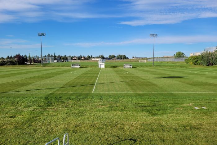
Shane Williams, KCAT, NPD, has managed the grounds, including the irrigation, at Mount Royal University in Calgary for 21 years. He knows where isolation valves, mainlines and heads are located, where changes have occurred and how capital projects have modified the 330-zone system.
Most of that knowledge comes from more than two decades of experience managing the system. Even when an as-built exists, systems don’t always get installed to the design specification.
“Some contractors treat the construction designs as as-builts, but systems don’t always go in as initially designed,” he said. “We always like to see the contractor take it upon themselves to GPS the heads, valve boxes and mainline laterals.”
With limited information, irrigation professionals can spend valuable time searching for system components and have a 50/50 chance of accurately finding valves, heads and mainlines when a break occurs or ground is broken on a new project.
Manually updated as-builts have been the industry standard and are a good starting place. But GPS mapping can increase accuracy, enable quick updates and create documentation that can be passed from one site manager to another seamlessly on large, complex systems.
Transfer of knowledge
Mount Royal University is not unique in having one tenured employee who knows the ins and outs of a system—and its modifications—across a 10-, 20- or 30-year system lifespan. As-builts provide critical information but are often not maintained. When a long-time employee leaves or a new contractor is awarded a property bid, component locations can become anybody’s best guess.
“Having an as-built is fantastic to inform new employees about what they should be looking for, and so they understand the layout of the system,” he said. “It’s especially important for
catastrophic events where you have to isolate sections. I know where they are by heart, but new people don’t have that advantage.”
Williams’ team recently completed a project that created as-builts for the entire irrigation system. The university hired a consultant to draft as-builts, and the school’s irrigation specialist reviewed and requested updates until the maps were accurate.
“If I was to do the process all over again, I would add GIS to that so we’re locating irrigation equipment within one centimeter of where things are,” he said.
While the consultant was developing as-builts the facility team had a separate project asset tagging every tree on the campus using Esri geographic information system (GIS) mapping software. Seeing how the technology was used for other landscape assets inspired Williams to do the same for irrigation.
“We started GISing our irrigation so that we can go ahead with aeration season and know that we won’t damage the irrigation,” he said. “Using GIS, you can see the whole picture by zooming in and zooming out on coordinates.”
The digital record can also evolve alongside system changes. New components can be documented, and modifications can be noted streamlining knowledge transfer with current staff and new hires or when a company takes over a contract at a commercial property.
Decision-making support for system maintenance
Beyond having accurate information and training new staff, Williams sees another benefit to using GIS mapping. The easy-to-access data helps explain the irrigation system to decision makers.
“It makes informing people about system capabilities and limitations a lot easier,” Williams said. “We’re always getting new funding and have new building announcements and it’s important for us to know where our main lines are, so that if we have a new building and we have to move main lines.”
That information can bring irrigation into planning conversations earlier. Instead of rupturing a mainline or finding out there isn’t enough flow or pressure once construction begins, contractors and facilities teams can anticipate, plan and adjust.
Photo courtesy of Mount Royal University.